Road map extraction from satellite imagery using connected component analysis and landscape metrics

Abstract
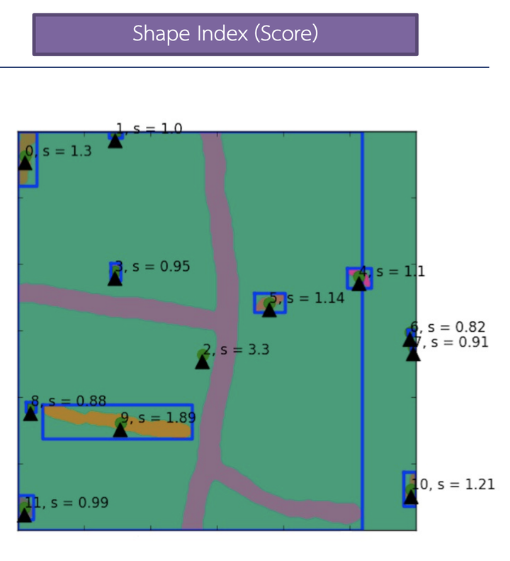
Road map extraction is vital for GIS and underpins many location-based applications like GPS navigation, delivery route planning, tourist attraction locating, and location-based marketing. This research uses satellite imagery, though other remotely sensed images like aerial photographs, UAVs, or drones are also applicable. Despite various proposed methods focusing primarily on accuracy, completeness of results is equally important. We enhance accuracy by incorporating connected component analysis and improve completeness using landscape metrics, which describe spatial characteristics through shape and isolation indices. Evaluated on precision, recall, quality, and F1 scores, our method achieves over 90% performance in all criteria.
Type
Publication
In IEEE International Conference on Big Data Big Data 2017